
The sky, layer by layer.
Wind Vector for iPhone shows wind, temperature and clouds at every height up to 45,000 ft, with radar and storm tracks around you. Free, with no account.
Coming soon to the App Store
What it does
-
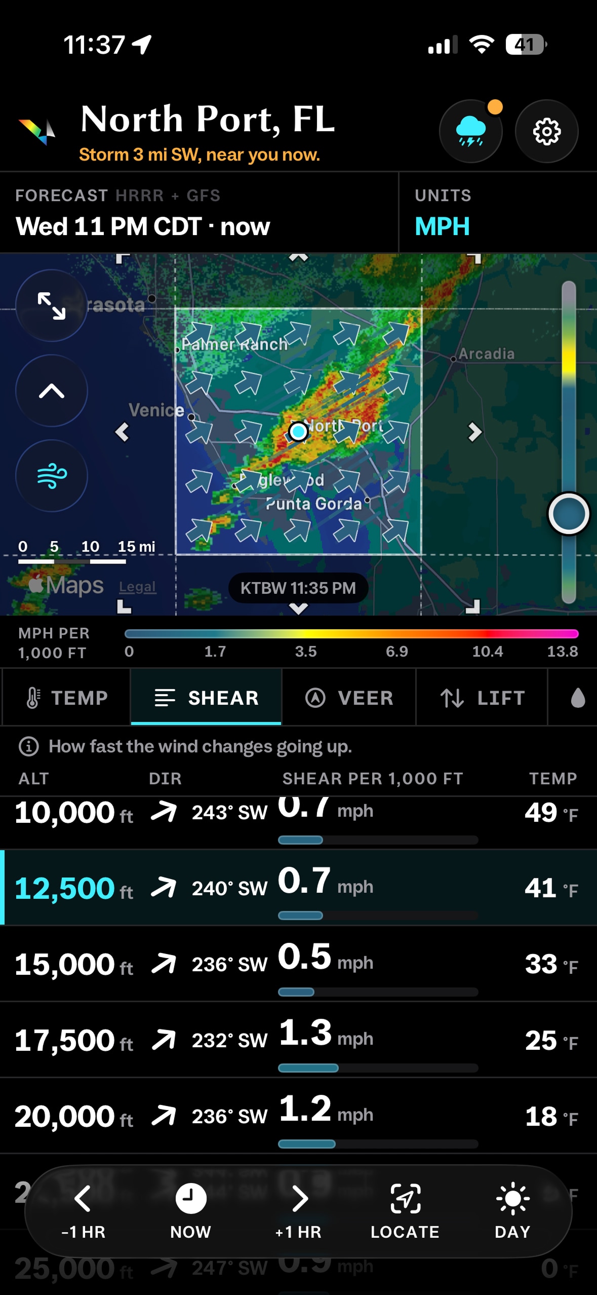
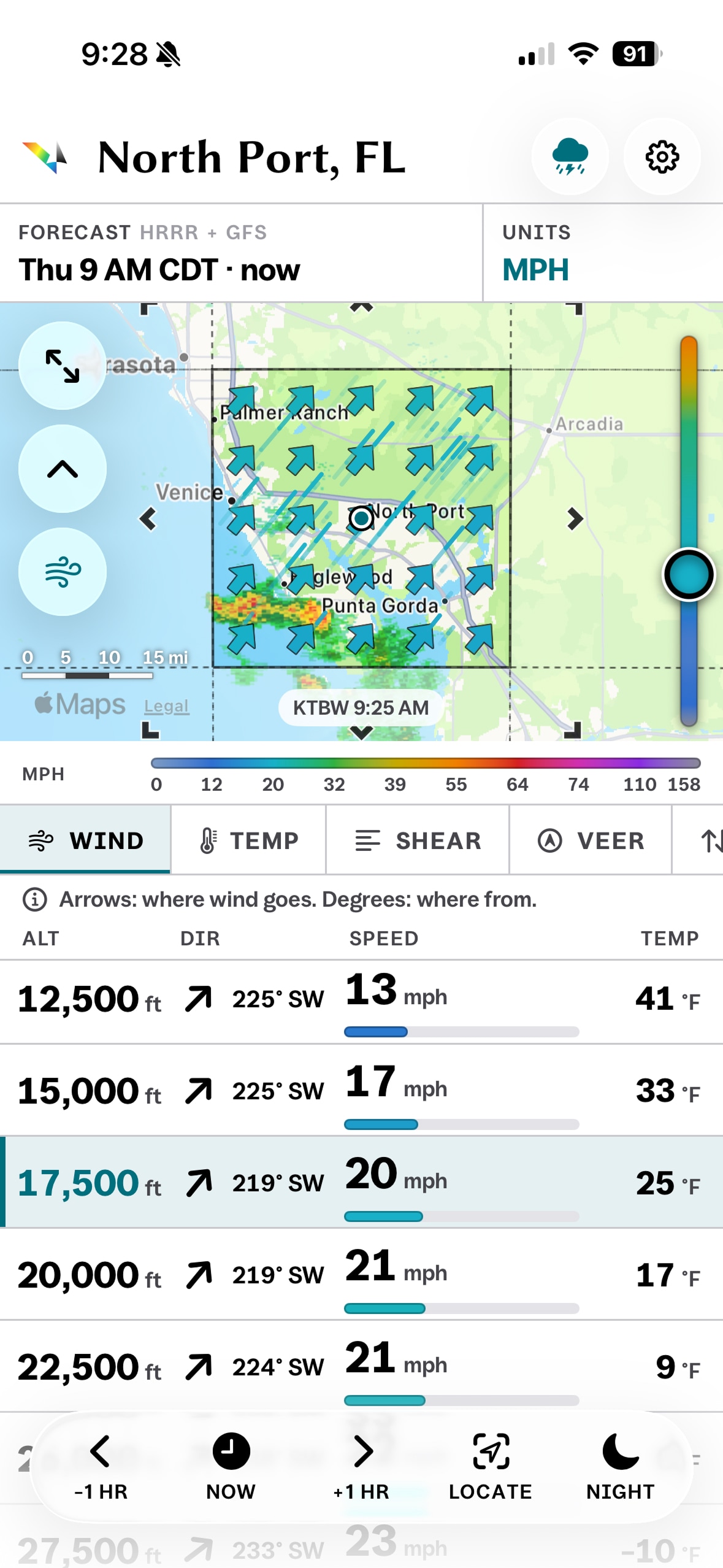
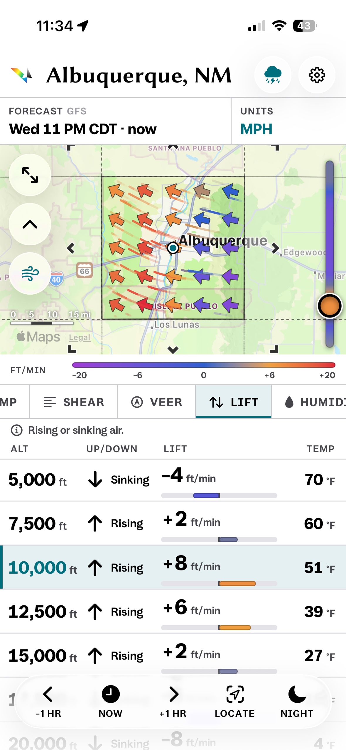
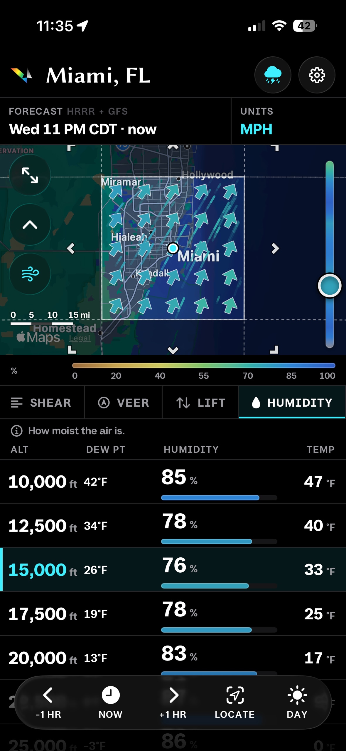
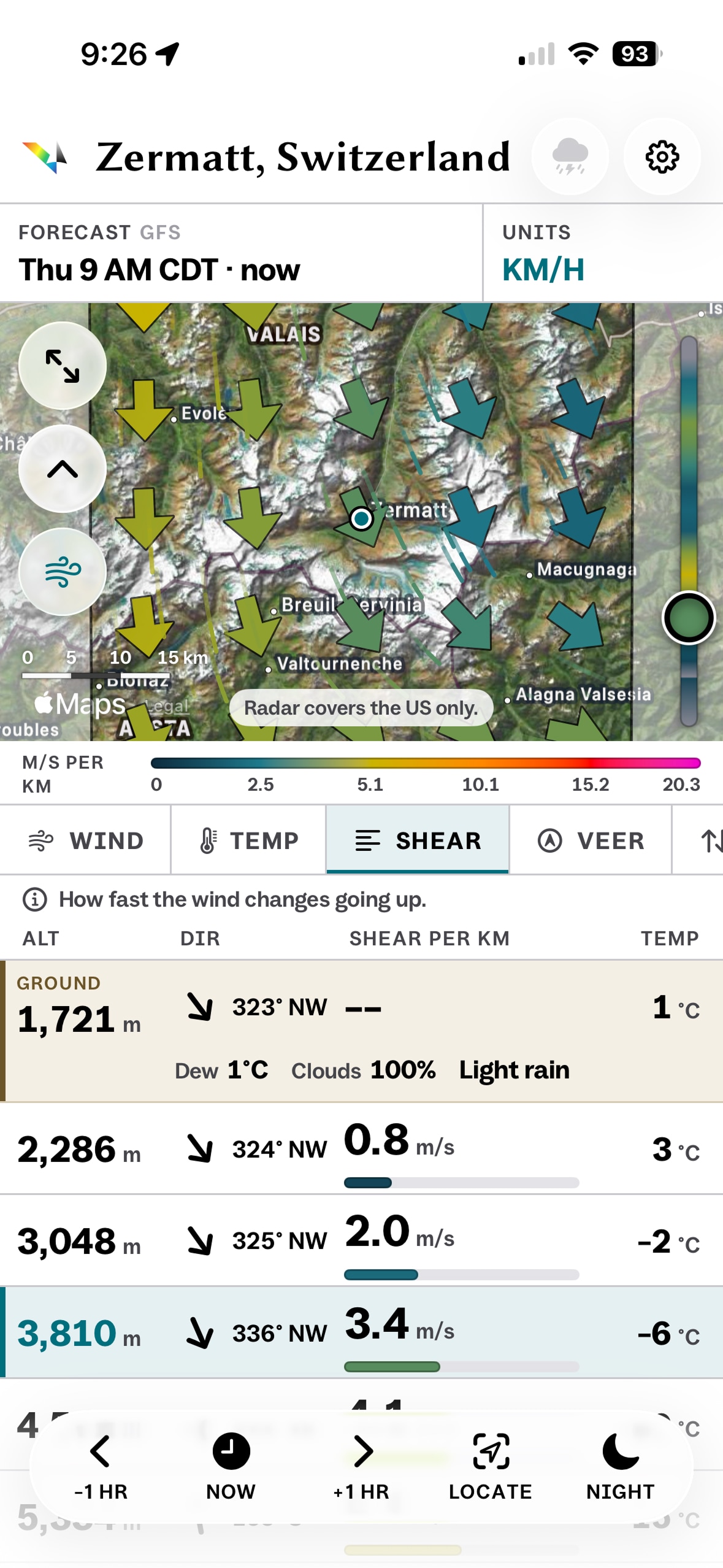
Every height, one list
Wind, temperature, shear, lift, humidity and clouds every 2,500 ft, from the ground to 45,000 ft.
-
A map around you
Arrows and streaks across 55 km, at any height you pick.
-
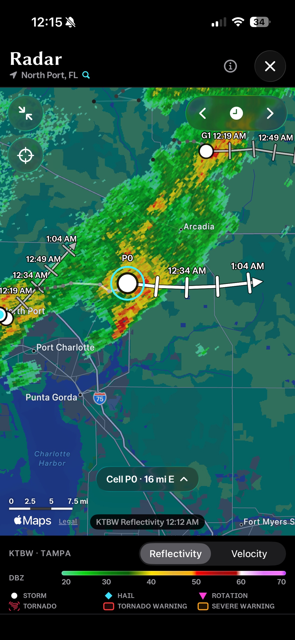
Radar and storm tracks
The nearest radar, NWS warnings and where each storm is headed. In the US.
-
Clouds and satellite
GOES cloud cover over the Americas and satellite imagery under the map.
-
Yesterday to three days ahead
Step hour by hour. Past and future hours are tinted, so you always know what you're seeing.
-
Free, with no account
Forecasts come straight from NOAA to your phone. No tracking, no analytics.